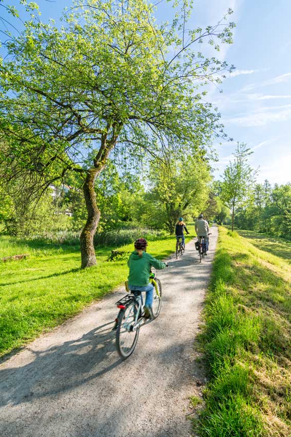
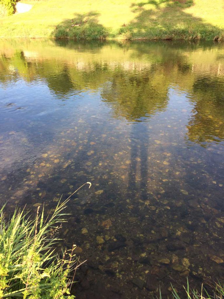
From the Zwergschlösschen you have a direct view over the floodplains of the White Elster and their cycle paths. Discover our recommended routes and be enchanted by the varied landscape.
CYCLE TRACKS
Tour Tip: From the Zwergschlösschen through the Hofwiesenpark Gera to the New Landscape Ronneburg – a partial section of the Thuringian City Chain.
From the Zwergschlösschen, it goes along the Untermhäuser Straße to the Mohrenplatz with the birthplace of Otto Dix and the Marienkirche. The “Untermhäuser Brücke” bridge takes you to the Hofwiesenpark. Here begins the regional section of the Thuringian City Chain through the bank-Elster-Park and the picturesque Gessental. It was redesigned for BUGA 2007 as a route between the Hofwiesenpark Gera and the New Landscape Ronneburg. A bizarre juxtaposition of railroad, wilderness and playgrounds, a speed skating rink, information boards on the local flora and fauna as well as information about geological features, surprising art installations, and attractive rest areas make the tour a special pleasure. The tour leads directly through the New Landscape Ronneburg. It presents itself as a place of profound change: From the former uranium ore mining area, up to the Federal Garden Show 2007, a completely new, fascinating landscape has developed. Characteristic are the enormous, strictly geometrical Lichtenberger edges, a memory of the former ore mining. Other attractions are the climbing tower, the exhibition on the history of Wismuth in the “Object 90” and the 240 m long “Drachenschwanzbrücke” (Dragon Tail Bridge). Enjoy the spectacular view from the plateau of the Ronneburger balcony into the wide valley with a view of Gera and then return to the Zwergschlösschen.
Length: approx. 16 km
Track conditions
Well-developed route on forest and asphalt paths with easy slopes.
THE THURINGIAN CITY CHAIN
By bike from city to city.
The Thuringian City Chain runs across the Free State of Thuringia and links approximately 700 miles to seven Thuringian cities: Eisenach, Gotha, Erfurt, Weimar, Jena, and Gera. These cities have a lot to offer in the way of art, culture and technology-interested cyclists. Historic city centres, parks and numerous sights invite you to explore the sections of the City Chain and to walk in the footsteps of German celebrities.
The Thuringian City Chain is part of the Mittelland Route, which runs from Aachen to Zittau.
CIRCUIT ZWERGSCHLÖSSCHEN – MÜHLTAL
Length: approx. 50 km
Starting Point: Zwergschlösschen – Elster cycle path to Bad Köstritz – Kursdorf/ Mühltal – Bad Klosterlausnitz – Oberndorf – Kraftsdorf – Niederndorf – Töppeln – Rubitz – Milbitz – Zwergschlösschen.
In Bad Köstritz, it is worth to have a stop in the spa park with wildlife reserves and a side trip to the outdoor pool or the world famous black beer brewery, Köstritzer.
The Mühltal extends over a distance of about 12 kilometers from Kursdorf near Eisenberg to Weißenborn near Hermsdorf. The valley is embedded in a forested area and is now a nature reserve and a local recreation area alike. Along the stream, the route stretches past nine mills, which invite you to linger and re-tank. A special attraction is the Milos Waldhaus, the former home of Milo Barus, the strongest man in the world.
In Bad Klosterlausnitz, we recommend a short visit into the monastery church. The church belongs to a former Augustinian convent, founded in the 12th century. The church can be viewed at specific dates and times, which are published on their homepage. There is also the possibility to pick up the key in the parish and to look at the church independently. Phone 036601 83050, www.elk-bad-klosterlausnitz.de
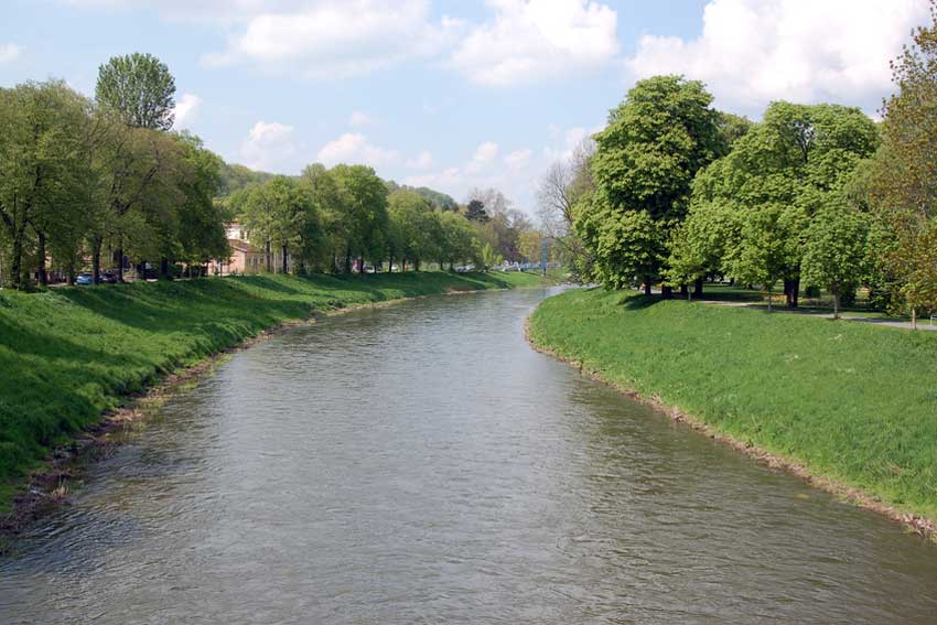
THE ELSTER CYCLE TRACK
It follows the Elster from its source in Ǎs (Asch, Czech Republic) to the mouth of the Saale south of Halle. The cycle track leads through Bad Elster in Saxony, then through Thuringia, between Wetterzeube and Profen. It goes through Saxony-Anhalt, then again through Saxony, to return to the west of Schkeuditz to Saxony-Anhalt. It connects the cities of Oelsnitz, Plauen, Greiz, Gera, Zeitz, Leipzig and Halle.
Characteristics
In the Saxon lower course (52 km, from Gera), the route is largely flat and independent of other roads. Here the path is well signposted. (Wheel train component 93%). The upper reaches (63 km) are characterised by mountainous sections. It is mostly driven on public roads, partly with heavier sections. The path is only partially signposted.
Route
0 km Elsterquelle, 22 km Adorf, 39 km Oelsnitz, 65 km Plauen, 90 km Greiz, 105 km Berga, 126 km Gera, 144 km Crossen, 158 km Zeitz, 181 km Pegau, 208 Leipzig, 222 km Schreuditz, 240 km – Mouth in the Saale
The White Magpie
With a length of 257 km, it rises in the Elstergebirge west of the Kapellenberg at a height of 724 m above sea level. Its source lies at Vyhledy southeast of Ǎs, where it is called “Bélý Halštrov”.